Pillar 03
Digital MRV
Every field activity linked to its evidence.
We connect field work, satellite data and reporting so every figure can be traced back to its evidence.
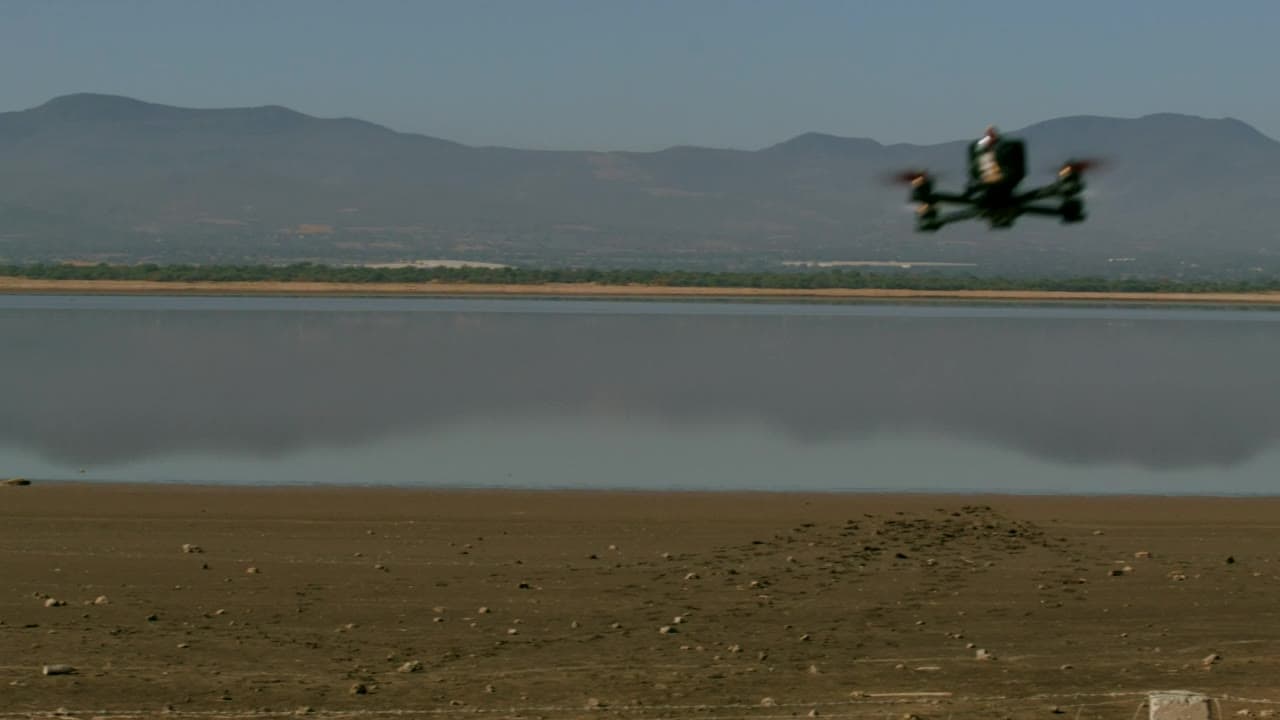
Furaha & Baraka Farms (FBF) provides digital monitoring, reporting and verification (MRV) for restoration and carbon projects in Kenya and East Africa. Using mobile field data, GPS, GIS, remote sensing and dashboards, FBF creates traceable links between projects, locations, activities, quantities, people, monitoring events and outcomes, giving partners the evidence needed for management, reporting and assurance.
- GPS-tagged treesEach tree recorded with a location at planting
- Satellite + ground checksRemote change confirmed by field visits
- Live client dashboardsProgress visible between reports
What we deliver
What’s included
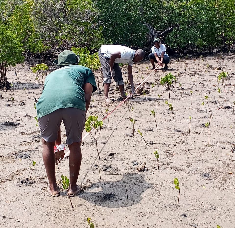
- Offline-ready field forms
- Photos, GPS points and timestamps per record
- Sync and quality checks on upload
What’s included
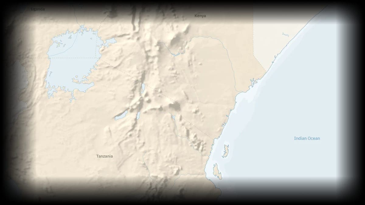
- Plot and boundary mapping
- Land-cover and land-use layers
- Maps prepared for reports and reviews
What’s included
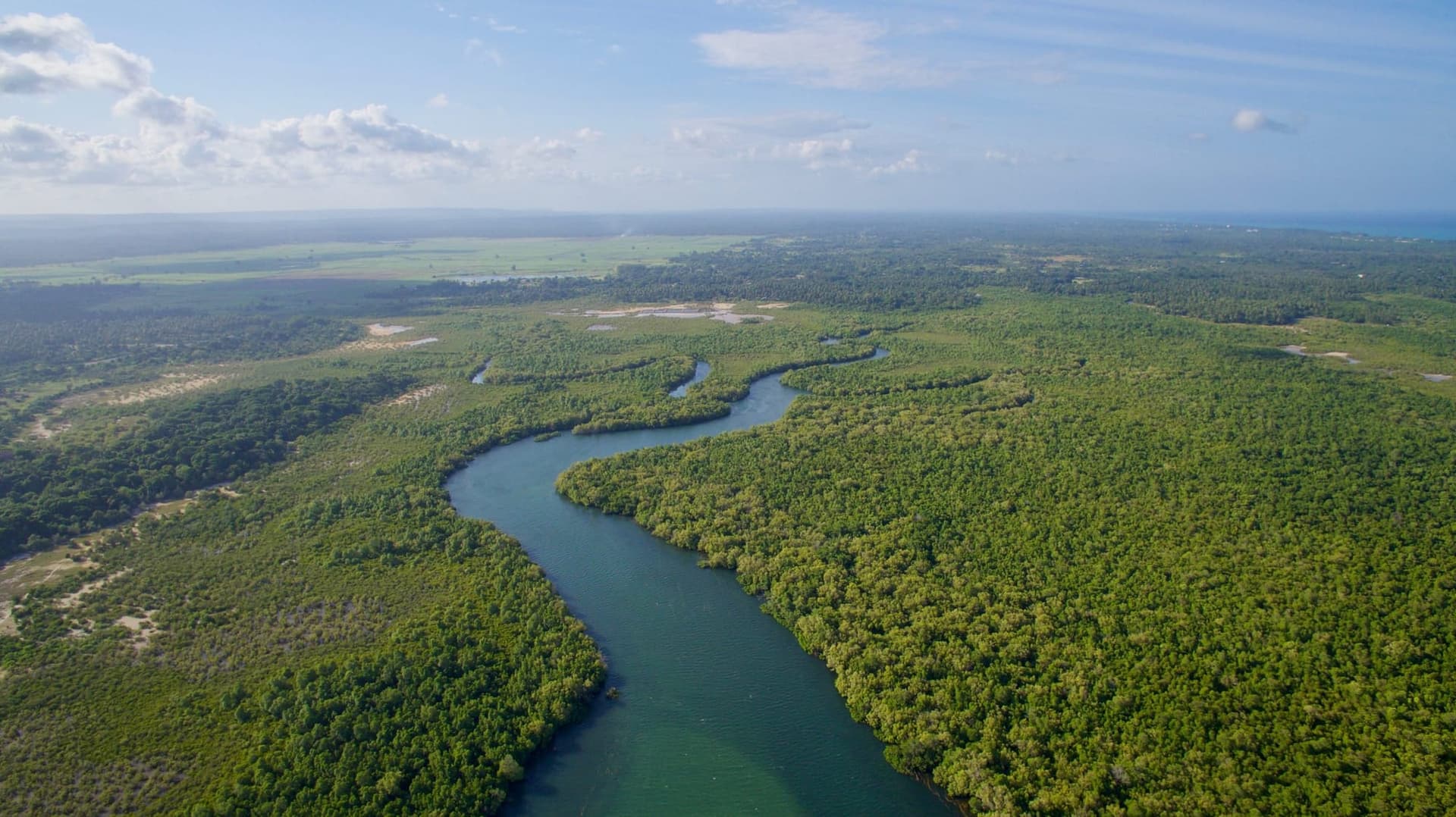
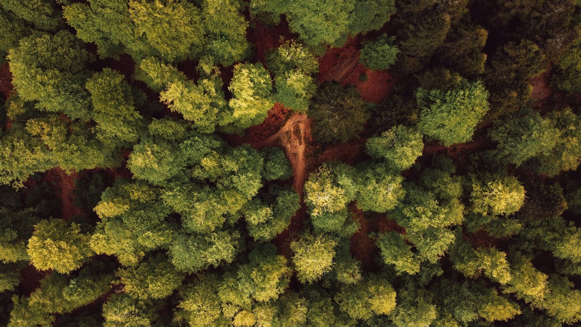
- Baseline imagery for each site
- Canopy and land-use change between visits
- Flags for areas that need a field check
What’s included
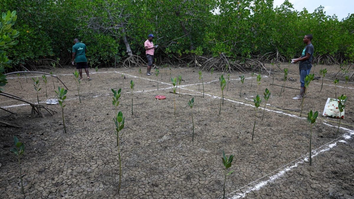
- Sample plots selected for visits
- Field checks against remote findings
- Differences recorded and resolved
What’s included
- Faster review of aerial imagery
- Automated checks on field photos
- Results reviewed by our analysts
What’s included
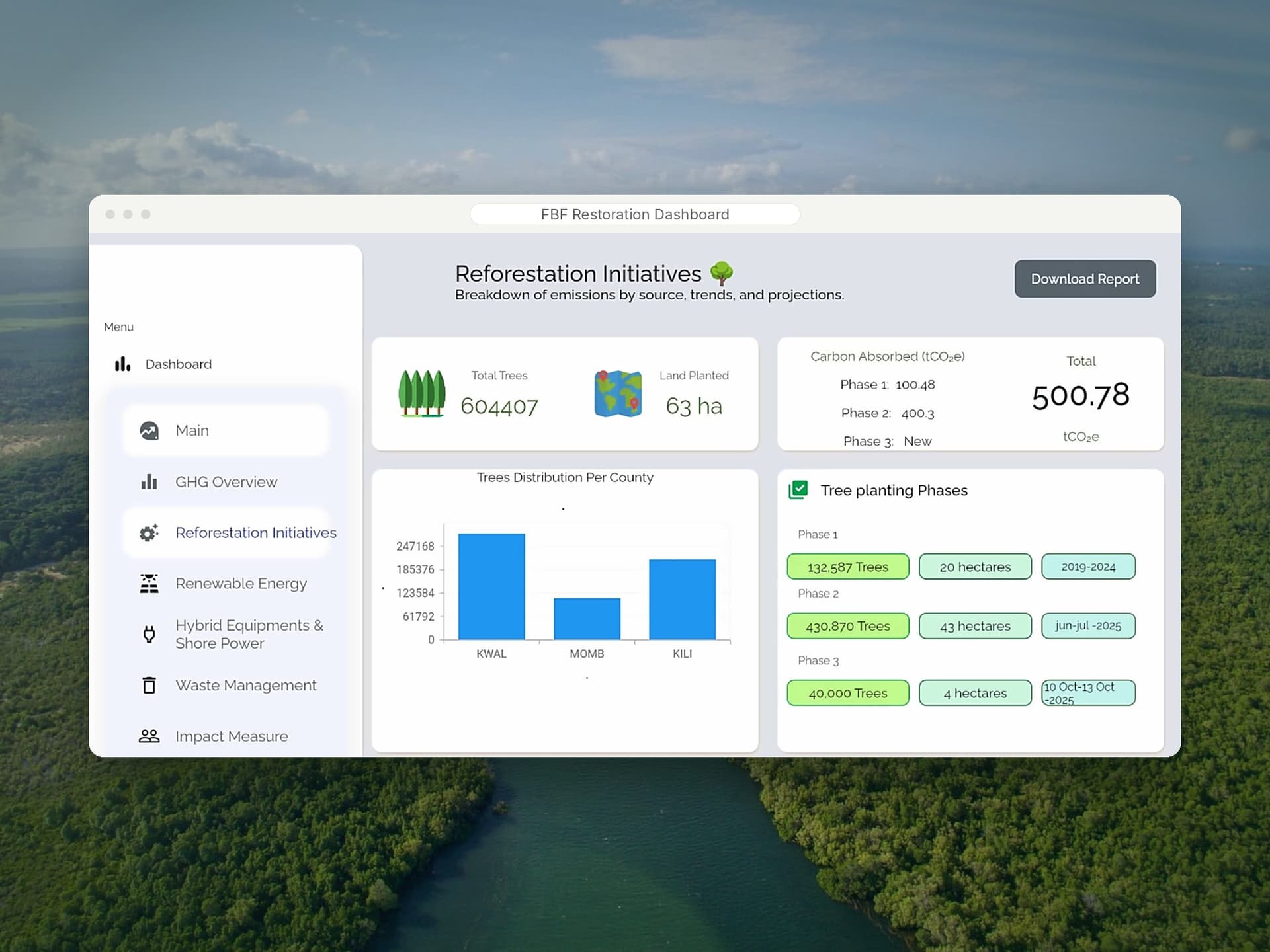
- A project dashboard for your team
- Records labelled by evidence stage
- Periodic reports and data exports
Remote observation + field evidence
From above
- Change detection
- Canopy cover
- Site boundaries
On the ground
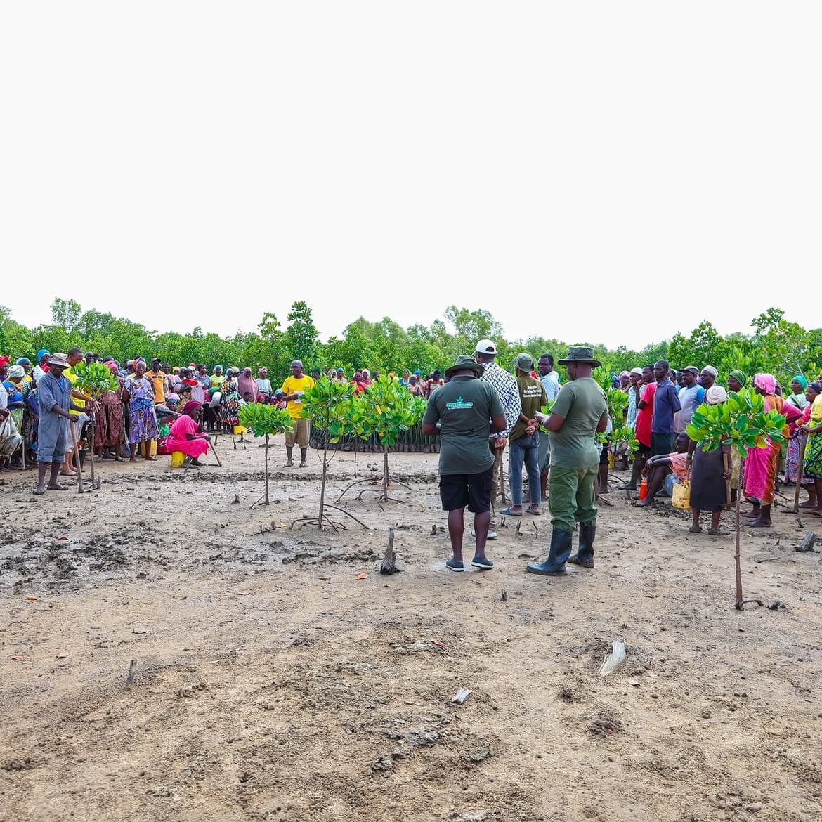
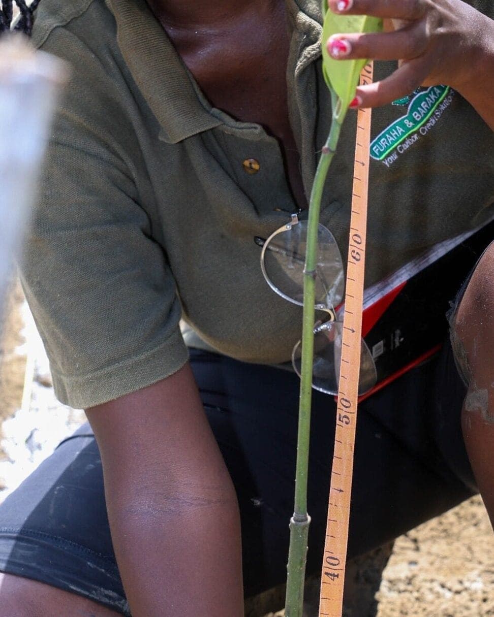
- GPS-tagged trees
- Survival counts
- Ground-truthing
One evidence record
Illustrative example, not a real record- Site
- Coastal restoration plot
- Date
- Date of the monitoring visit
- Species
- Rhizophora mucronata
- GPS point
- Latitude, longitude of the tree
- Survival status
- Alive, healthy
- Checked
- ✓ Satellite and field
For partners
What working with us on digital MRV looks like
- What it is
- A monitoring system that links field records, GIS and satellite data so every figure can be traced back to its evidence.
- What to expect
- Field teams record each activity in our app, tied to a plot, a date and a GPS point. Satellite change is checked on the ground in sample plots before it is reported.
- What you gain
- A project dashboard for your team, records labelled by evidence stage, and periodic reports and exports you can share with reviewers.
- The wider contribution
- Claims that can be checked. Findings feed back into planting and aftercare, so restoration improves while it is being measured.
Common questions
Digital monitoring, reporting and verification (MRV) connects field activities to the evidence required for management, reporting and assurance. Furaha & Baraka Farms (FBF) provides it for restoration and carbon projects in Kenya and East Africa.
Mobile data collection, GPS, GIS, remote sensing, dashboards and controlled evidence systems.
It creates traceable links between projects, locations, activities, quantities, people, monitoring events and outcomes.
No. Technology improves traceability and supports decision making, but it does not replace field evidence or professional judgment.
It is the verify step of one approach: measure accurately, plan credibly, implement at scale and verify with audit-ready evidence, so one accountable partner covers the whole climate journey.
Start a project
See your projects clearly.
 Next pillar04 Circular Economy & Regenerative Agriculture