 Mangroves & blue carbon
Bonje mangrove restoration with Iberafrica
259,000 mangrove seedlings on 28 hectares of Bonje Block, in two phases.
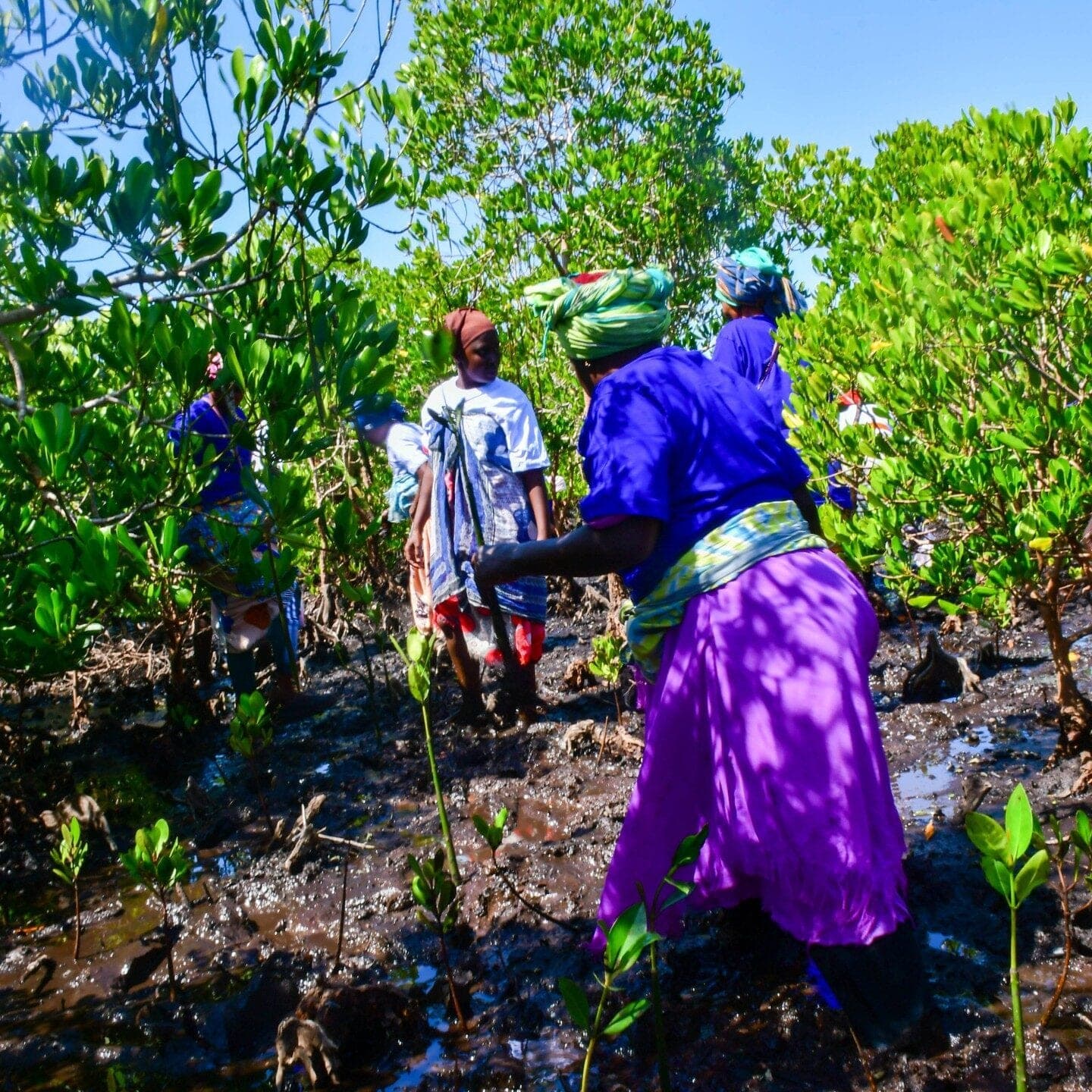
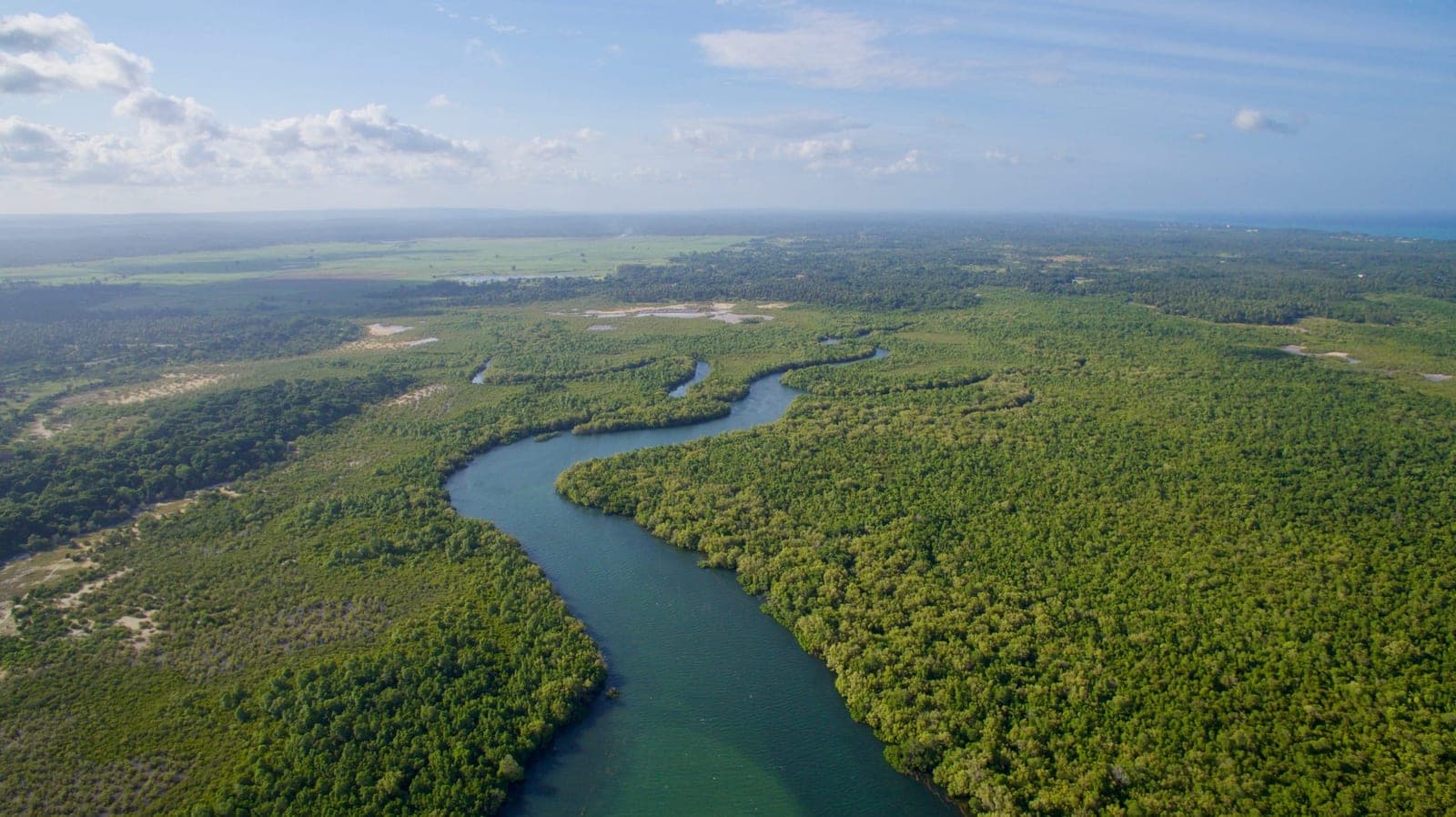
Iberafrica Power funds mangrove restoration in Bonje Block of the Mwache–Tsunza–Mbunguni–Bonje (Mwatsumbo) forest ecosystem, Likoni Sub-County, Kwale County. FBF implements it with the Mwatsumbo Community Forest Association under Kenya Forest Service technical oversight: 259,000 seedlings on 28 hectares in two phases, October 2025 and March–April 2026.
- mangrove seedlings, Phases I and IISource: FBF partner records and Phase II report, October 2026
- 259,000
- planted, 15 ha and 13 haSource: Iberafrica Phase II report, Apr 2026
- 28 ha
- Funder
- Iberafrica Power
- Implementing partner
- Furaha & Baraka Farms (FBF)
- Community partner
- Mwatsumbo Community Forest Association
- Oversight
- Kenya Forest Service
- Location
- Bonje Block, Likoni Sub-County, Kwale County
- Planting
- Oct 2025 and Mar–Apr 2026
- Seedlings
- 259,000
- Species
- Rhizophora mucronata · Ceriops tagal
- Stage
- Planted
Overview
Two phases at Bonje, mapped and monitored.
129,000 seedlings in October 2025 and 130,000 in March–April 2026: 259,000 mangroves on 28 hectares of degraded mangrove in Bonje Block.
17 community groups under the Mwatsumbo Community Forest Association supplied the seedlings and did the planting in Phase II. Across both phases, the planting took 1,832 person-days of community work.
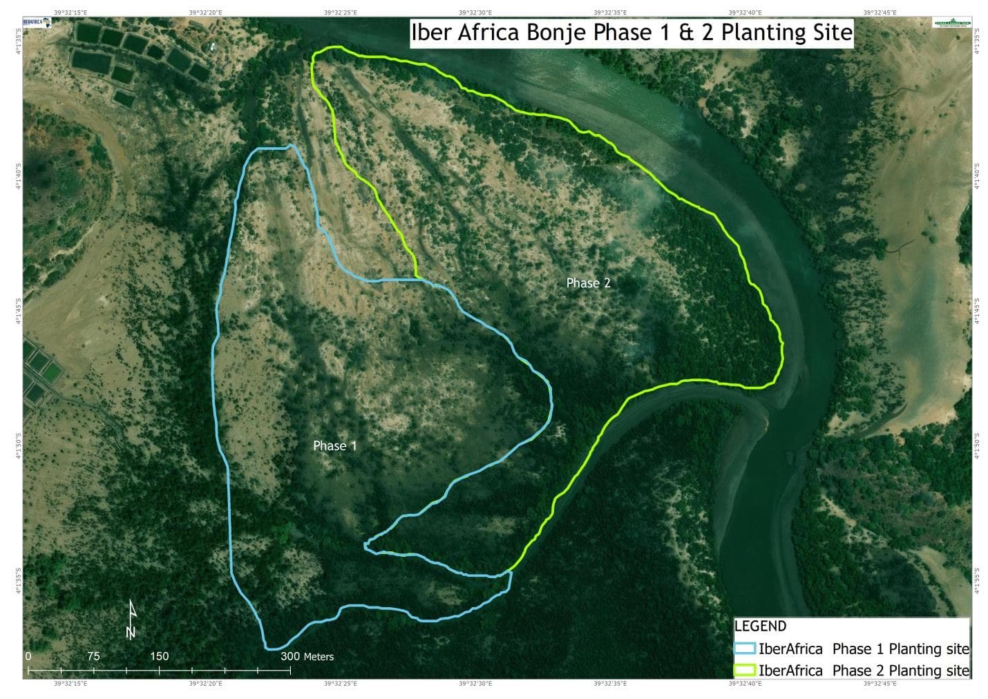
FBF monitors the site on a 70 m grid with 33 permanent sample plots, which makes it the clearest example of how FBF checks a restoration site.
The site
Mapped boundaries and the monitoring grid.
Both phases as mapped by FBF's GIS team, with the 70 m monitoring grid (33 cells) and its 33 permanent sample plots (IDs IA_001 onward).
- Phase I · 2–5 Oct 2025 · 129,000 seedlings · 12.8 ha mapped
- Phase II · 31 Mar–3 Apr 2026 · 130,000 seedlings · 13.3 ha mapped
- Monitoring grid, 70 m × 70 m
- Permanent sample plots (33)
Mapped boundaries from FBF GIS files add up to about 26 ha; the report states 28 ha, the figure used on this page. Boundaries simplified for display; the map is view-only.
Progress
Two phases, 28 hectares.
- 259,000mangrove seedlingsSource: Iberafrica Phase II report, Apr 2026
- 28 haplanted in two phasesSource: Iberafrica Phase II report, Apr 2026
- 2phasesSource: Iberafrica Phase II report, Apr 2026
- 17community groups, Phase IISource: Iberafrica Phase II report, Apr 2026
- 1,832person-days of community workSource: Iberafrica Phase II report, Apr 2026
| Phase I | Phase II | |
|---|---|---|
| Dates | 2–5 Oct 2025 | 31 Mar–3 Apr 2026 |
| Area | 15 ha | 13 ha |
| Rhizophora mucronata | 129,000 | 100,000 |
| Ceriops tagal | – | 30,000 |
| Person-days | 1,332 | 500 (125 a day × 4 days) |
How the site was chosen
Chosen from the data, checked on foot.
FBF mapped degraded mangrove next to Phase I using Sentinel-2 vegetation (NDVI) and moisture indices, elevation models for tidal flooding, and GPS ground-truthing, then walked the site with the Kenya Forest Service and the community forest association. The Kwale County Ecosystem Conservator approved the 13-hectare Phase II block after an on-site check.
How it was planted
Seedlings came from the association's community nurseries (at least 25 cm for Rhizophora, 20 cm for Ceriops). They were planted on a 1 m × 1 m grid: Rhizophora in the regularly flooded lower zone, Ceriops in the higher, saltier zone. Teams checked 10% of plots each day for depth, spacing and species placement, and every record reached the FBF dashboard within 24 hours.
Community
Seventeen groups, one site.
17 groups under the Mwatsumbo Community Forest Association supplied seedlings and did the planting:
- Mborode SHG
- Jitahidi
- Bonje BMU
- Jipemoyo Mikoko
- Bonje Bidii
- Tupendane
- Lobster
- Chimbuka
- Upendo Mangrove
- Tuinue Bonje Mikoko
- Jaribuni
- Mwangaza Mangrove SHG
- Chimbuko Mikoko
- Bonje Lmukani
- Furaha Bonje
- Tushikamane Pamoja
- Shauri Moyo SHG
Lessons
What the planting taught us.
Recommended for the next phase: plan with the tide calendar, assess substrate two weeks ahead, confirm attendance four weeks ahead, and keep mixing species.
- Soft, waterlogged mud in deeper zones
- Low-tide working windows
- Matching two species to the right zones
- Planning around community farm work
Monitoring
Counted at 3, 6 and 12 months.
Survival is counted at 3, 6 and 12 months in 10 m × 10 m permanent sample plots, with Sentinel-2 vegetation indices against a June 2025 baseline and drone mapping of problem spots.
Next to it, FBF also restores about 10.8 ha for Thika Power.
Thika Power on the Projects page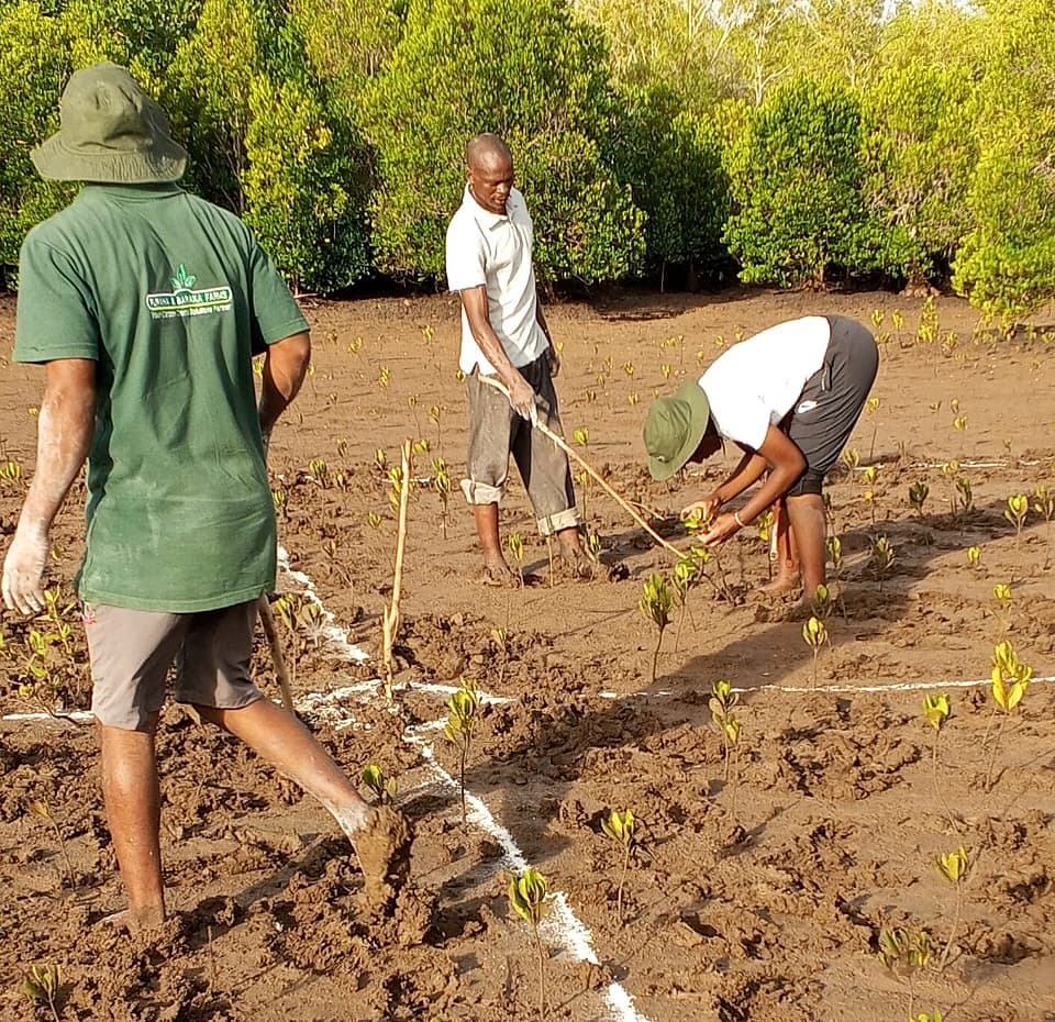
Gallery
At Bonje.
From the Phase II planting, March–April 2026.
Partners
- Mwatsumbo Community Forest Association
- Kenya Forest Service
Funded by Iberafrica Power. Implemented by FBF with the Mwatsumbo Community Forest Association, under Kenya Forest Service technical oversight.
Notes & sources
- Seedlings, area, phases, groups and person-days: Iberafrica Phase II tree planting report, April 2026. FBF partner records agree on 259,000 seedlings.
- Mapped boundaries, monitoring grid and sample plots: FBF GIS boundaries (KML), 2025–2026. The mapped polygons add up to about 26 ha against the report's 28 ha.